Home
Profile
History
Mission & Vision
Location Maps
Mayor’s Profile
Personnel
Executive Orders
Barangay
Socio-Economic Profile
Sangguniang Bayan
SB Members
Resolution and Ordinances
Projects and Activities
Tourism
Golf Club
Churches
Landmarks & Others
Projects
Accomplishment 2016
Opportunities
Business
Jobs
Bids and Awards
Invitation to bid
Notice of Award
Notice to Proceed
Gallery
Photos
Video
Contact Us
✕
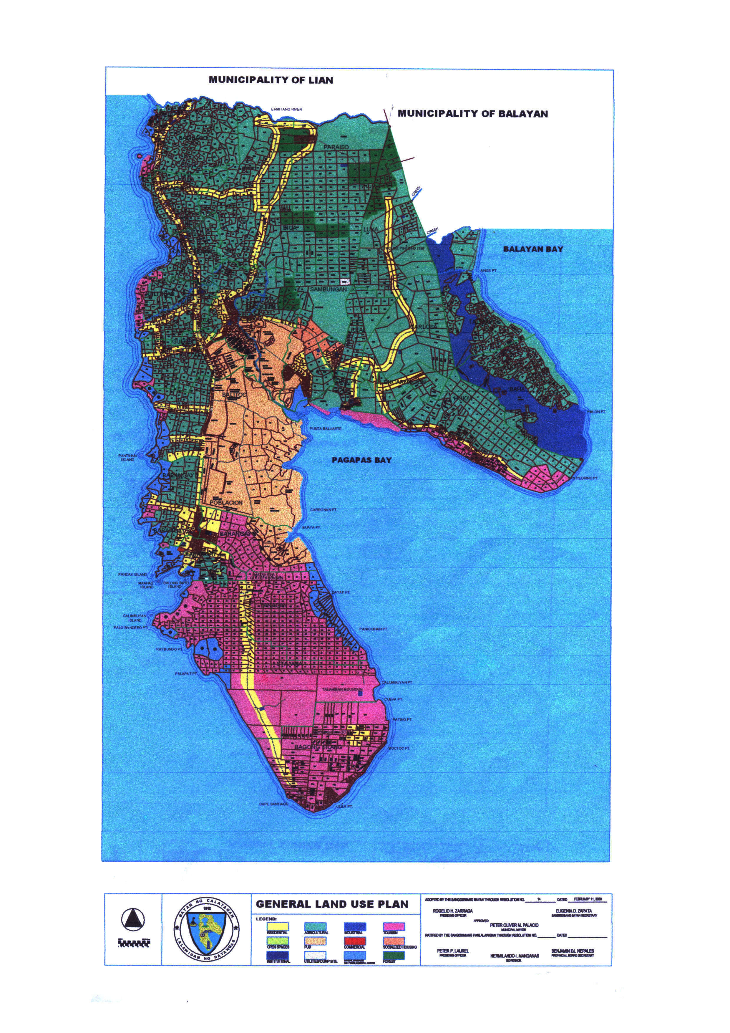
General Land Use Plan
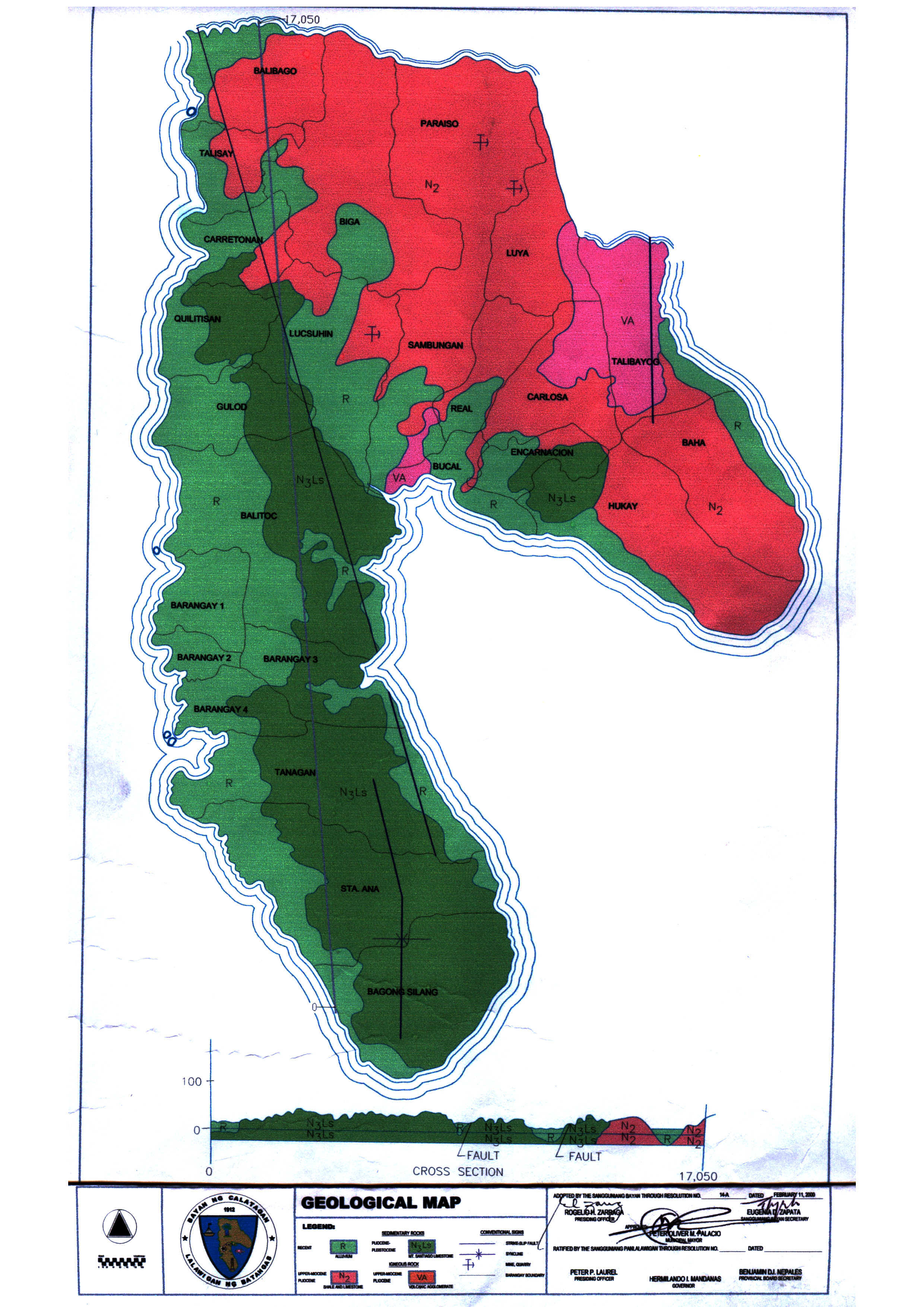
Geological Map
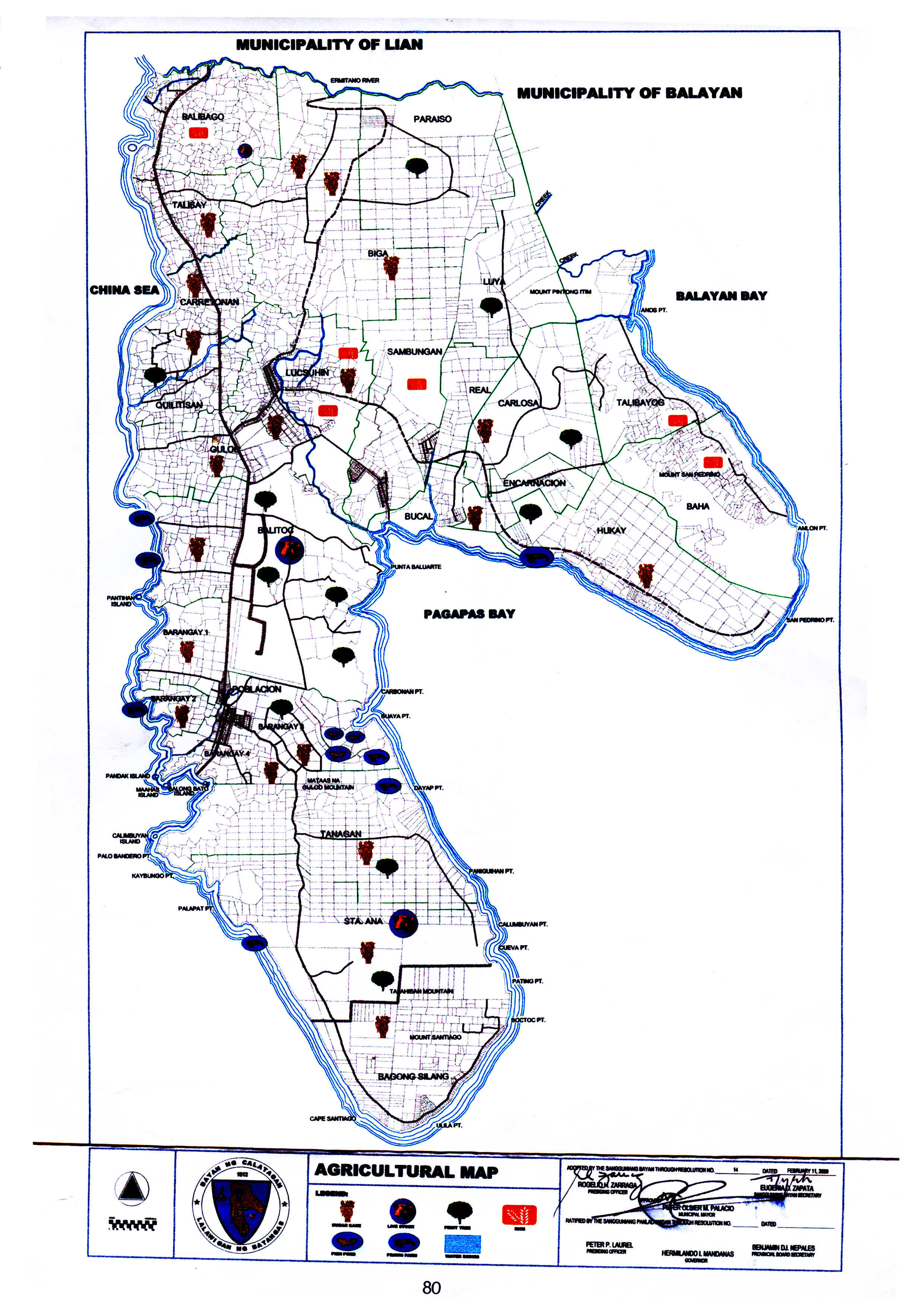
Agricultural Map
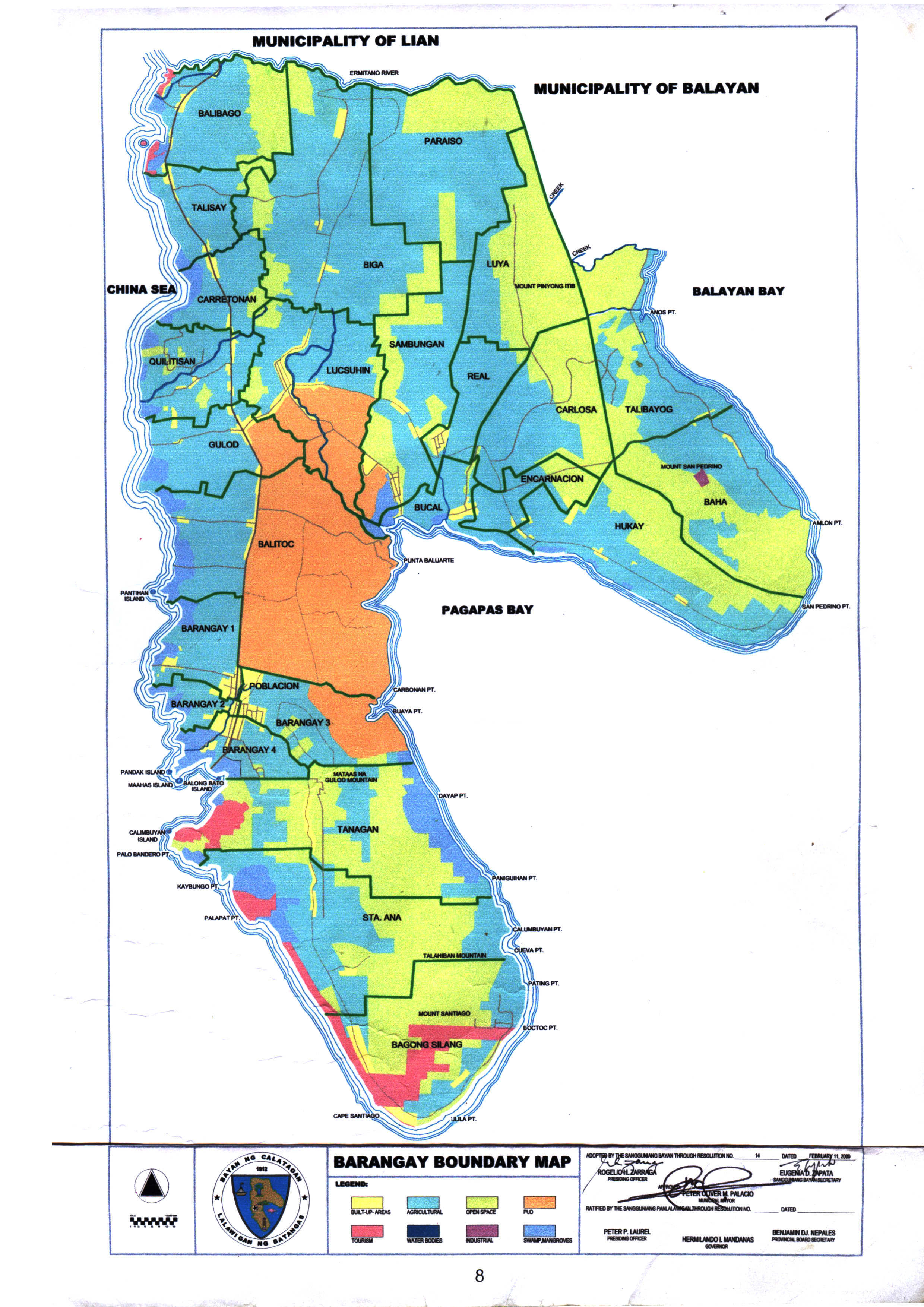
Barangay Boundary Map
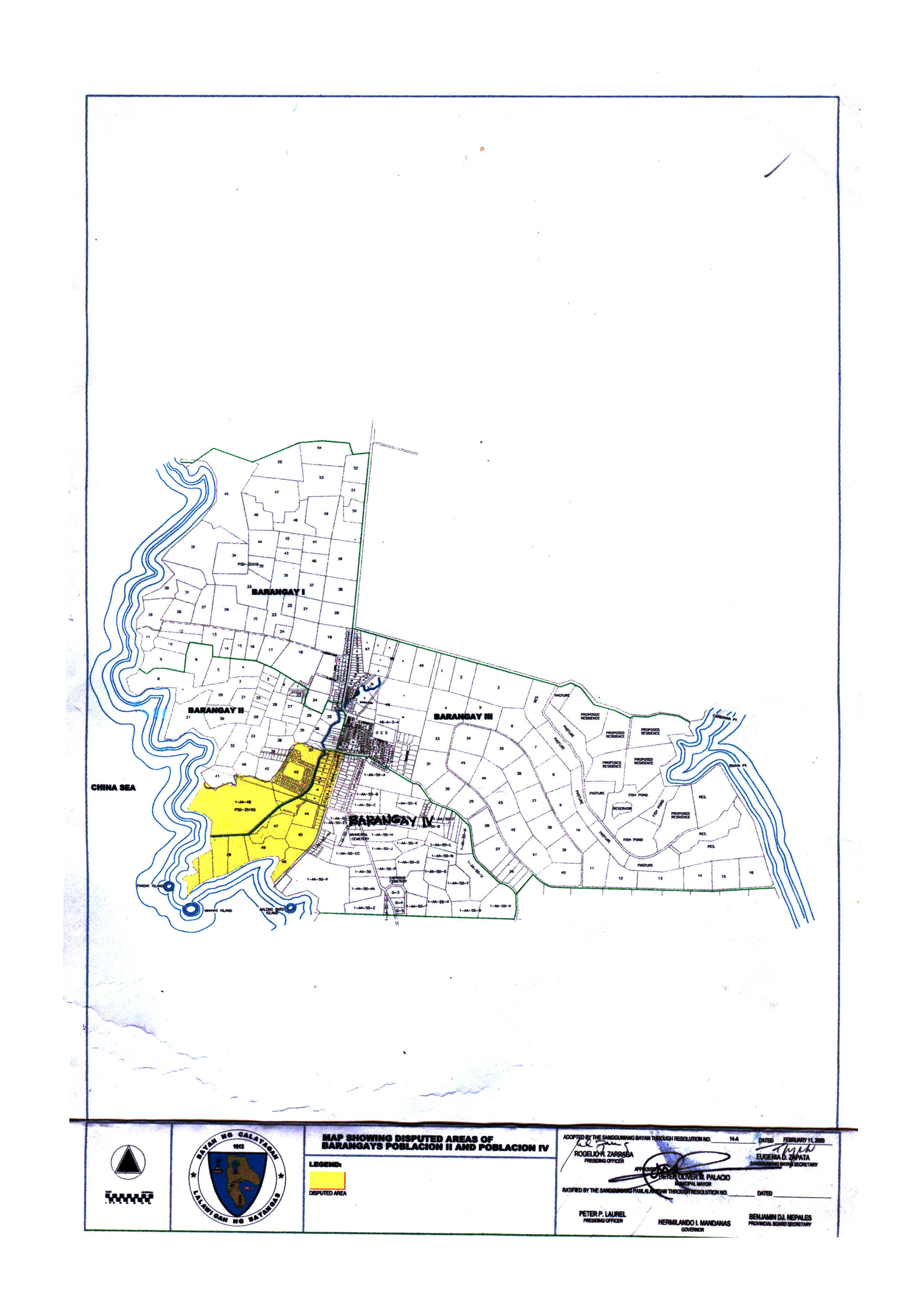
Disputed Barangay II & IV
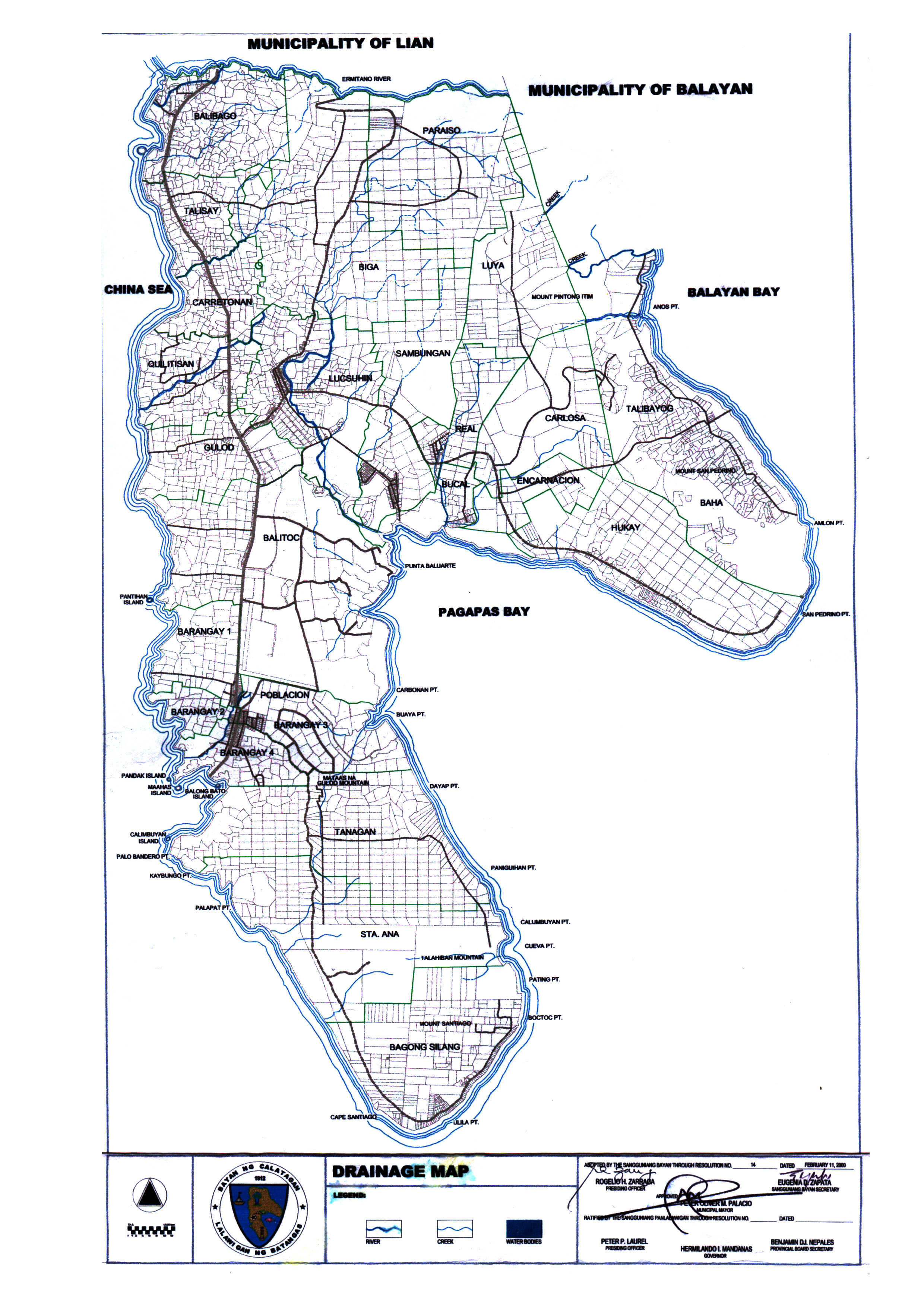
Drainage Map
Disputed Barangay II & IV
Drainage Map
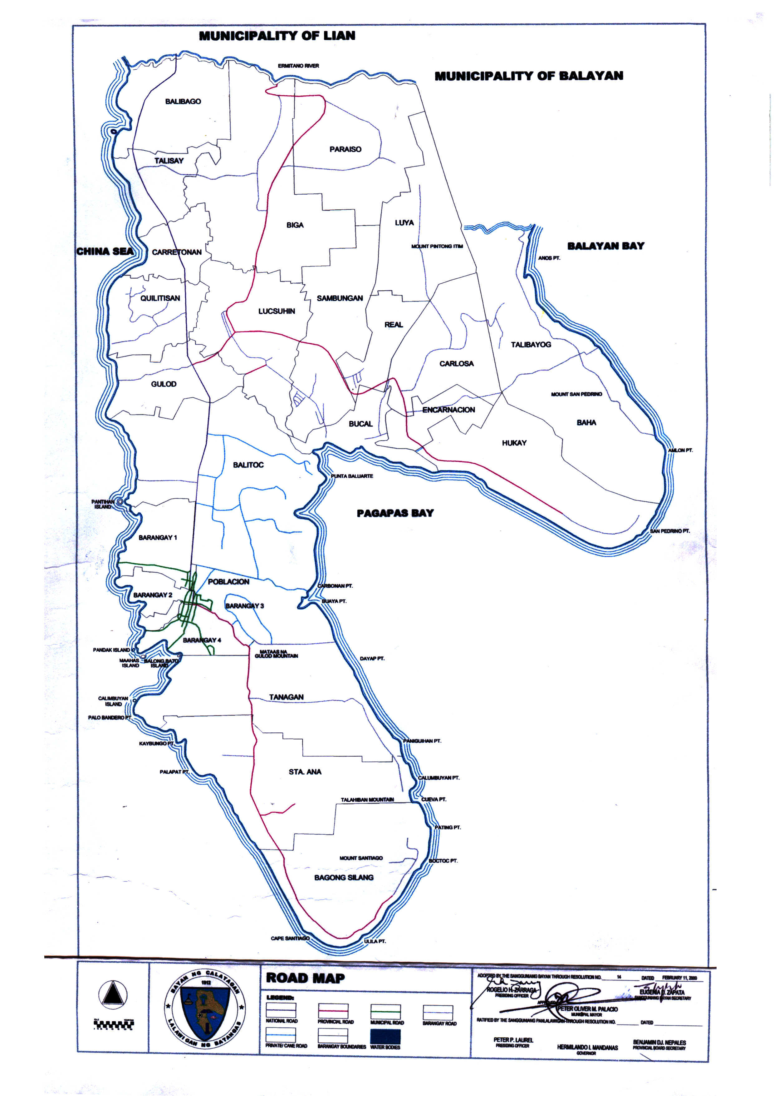
Road Map
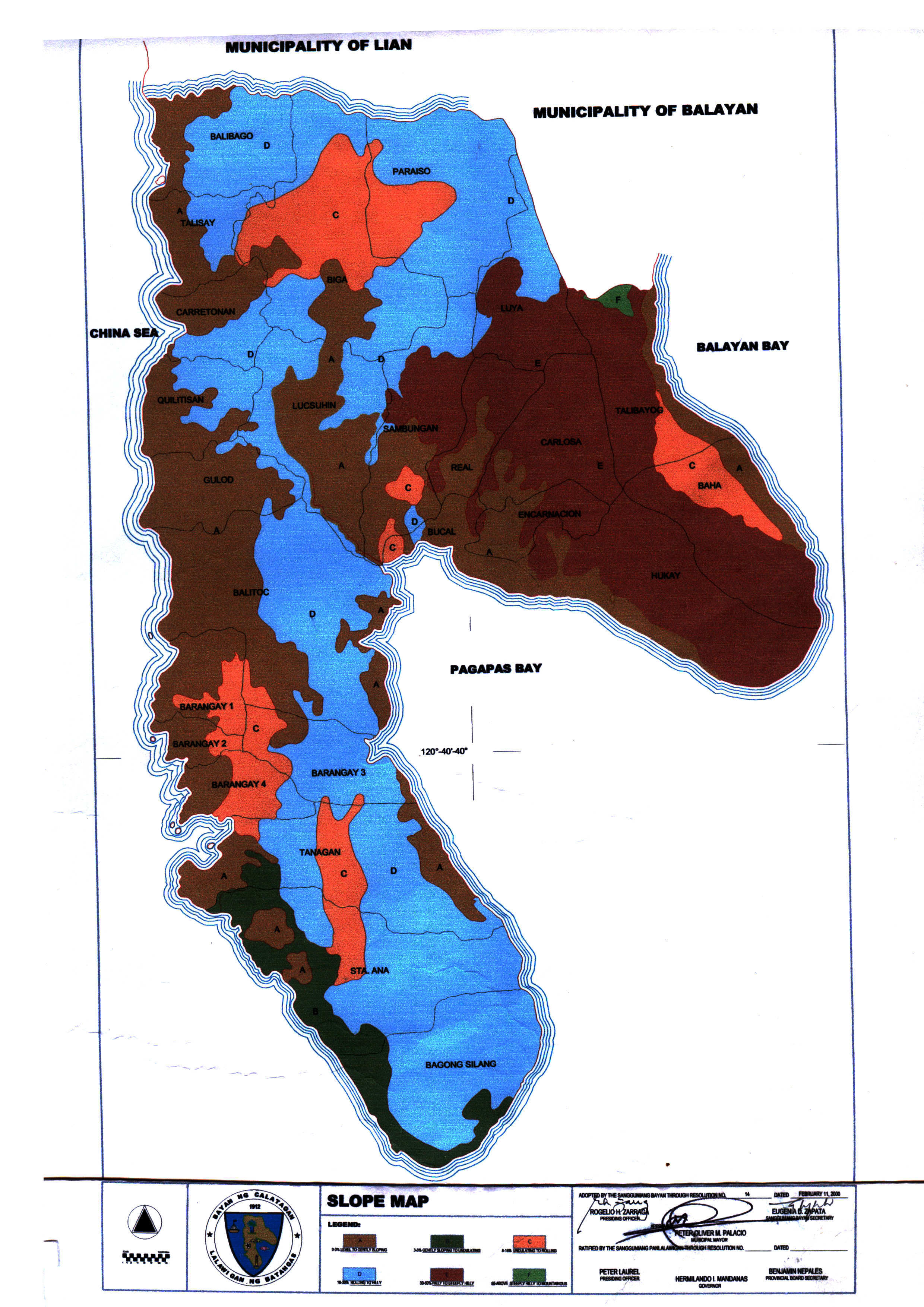
Slope Map
Soil Map
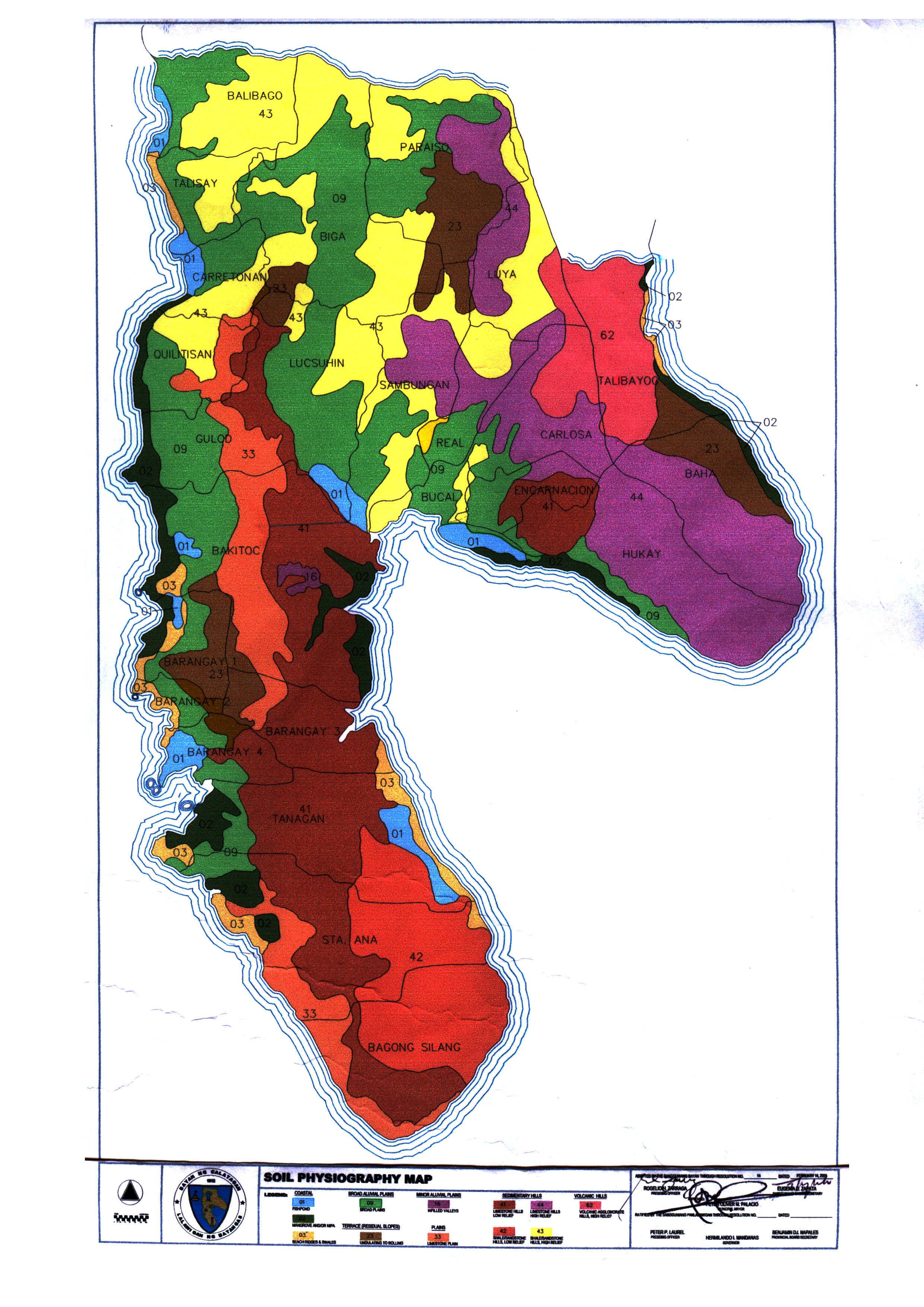
Soil Physiography Map
Topographic Map
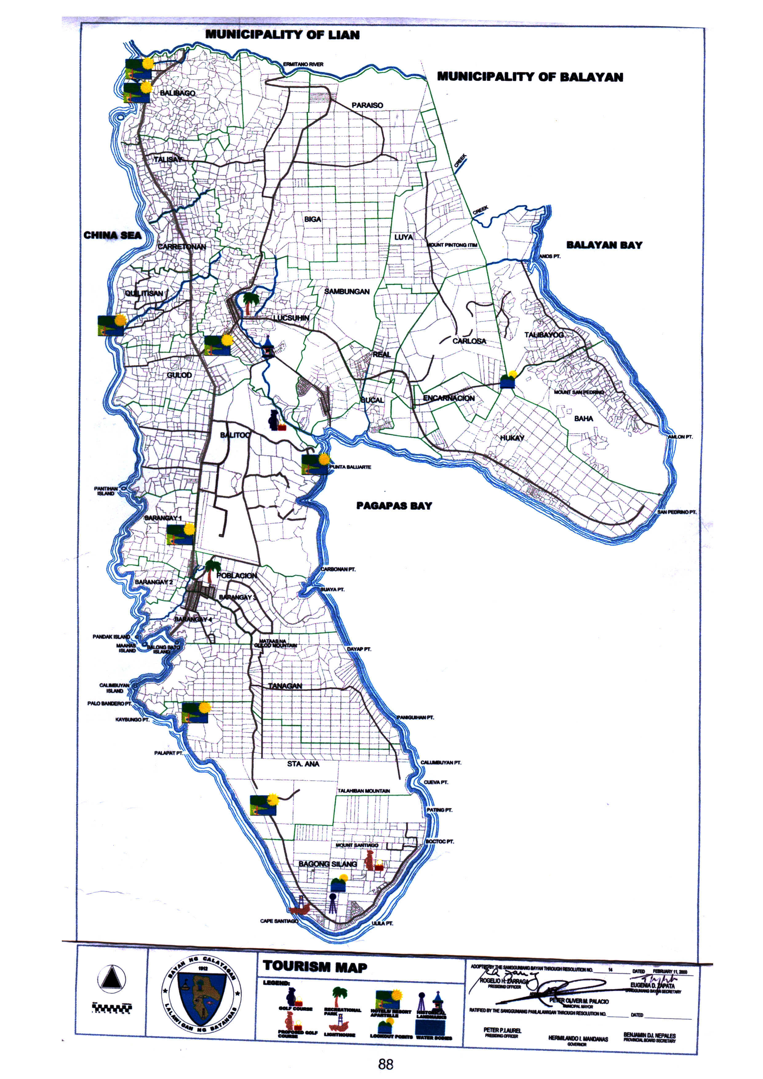
Tourism Map
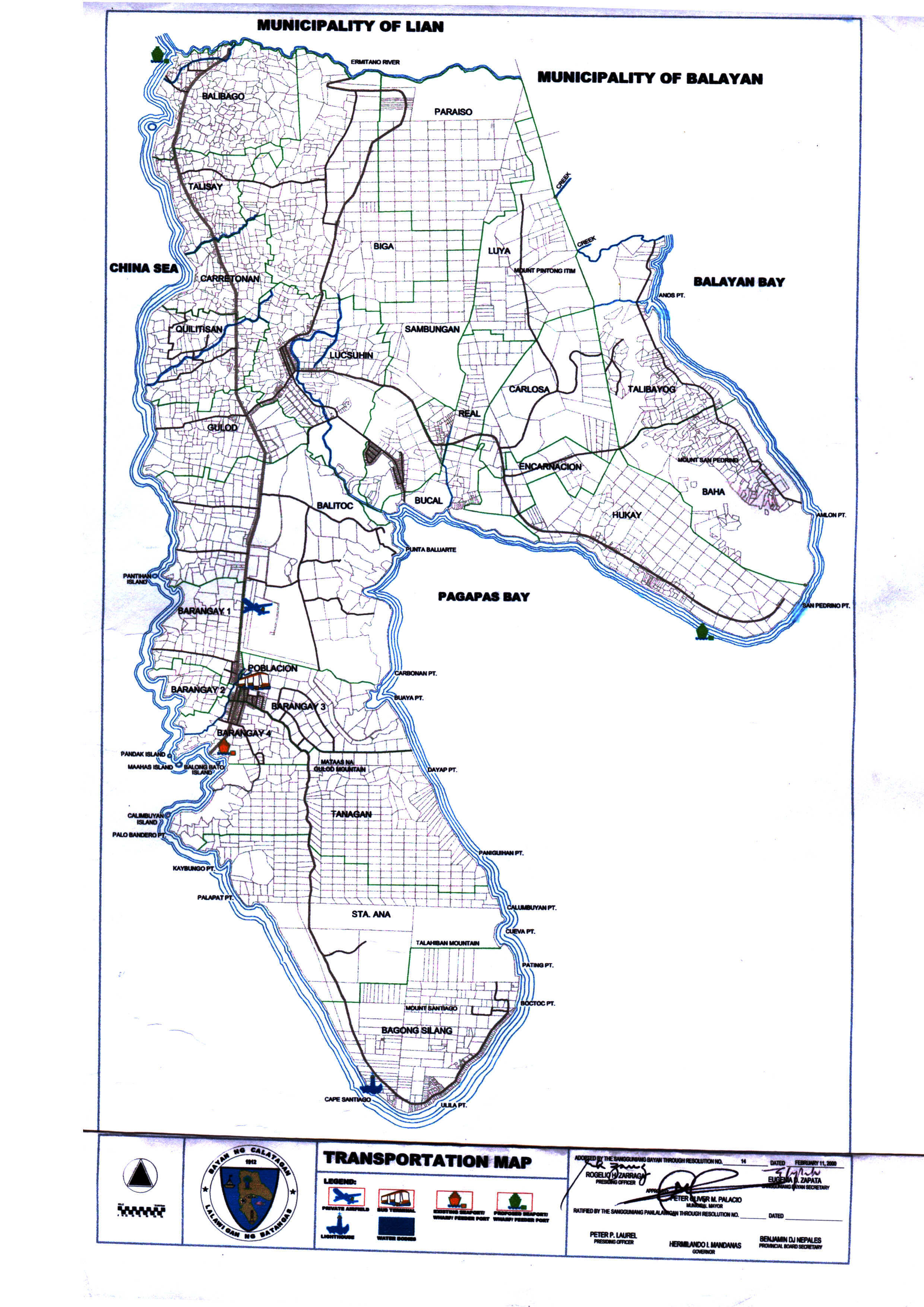
Transportation Map
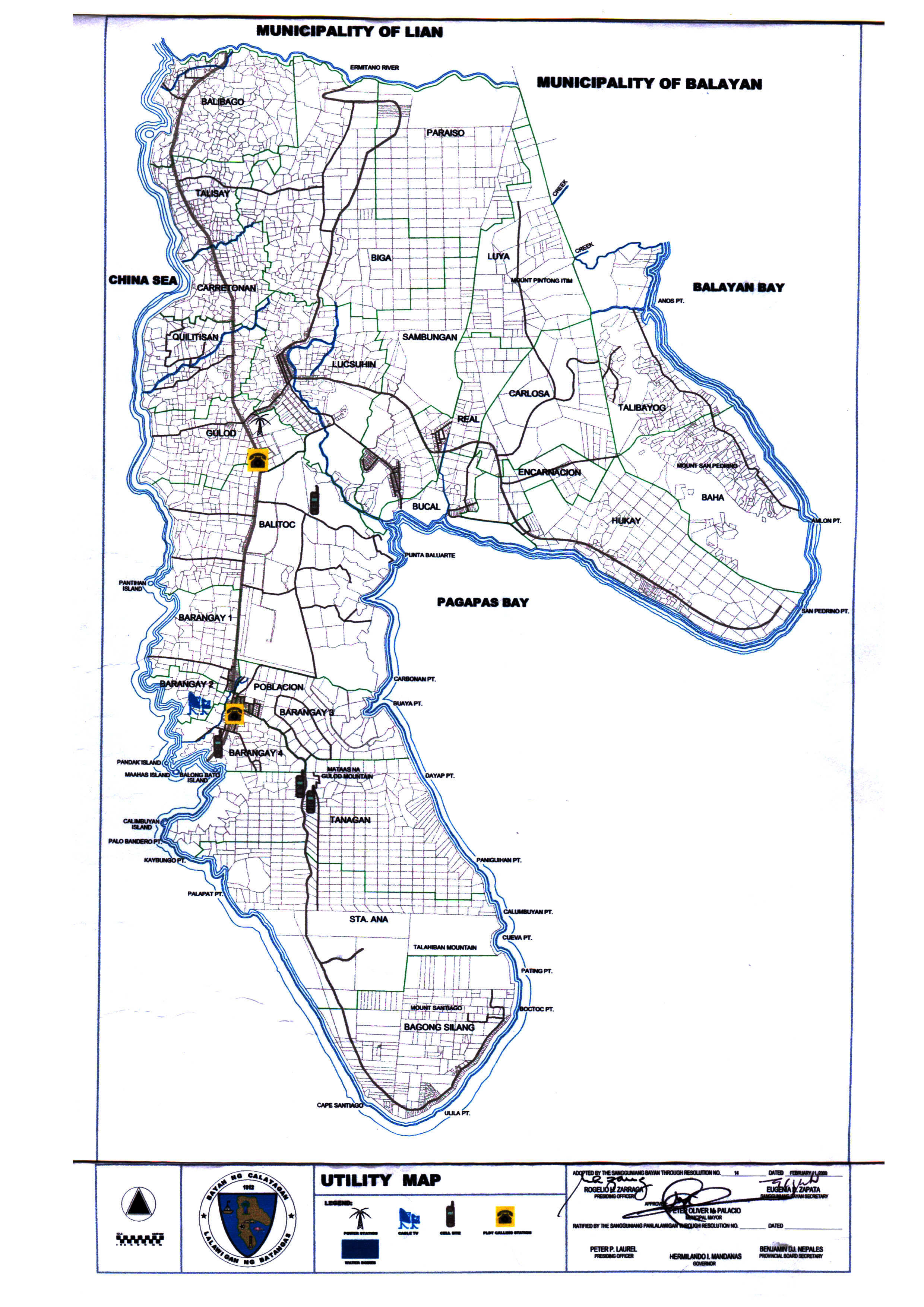
Utility Map
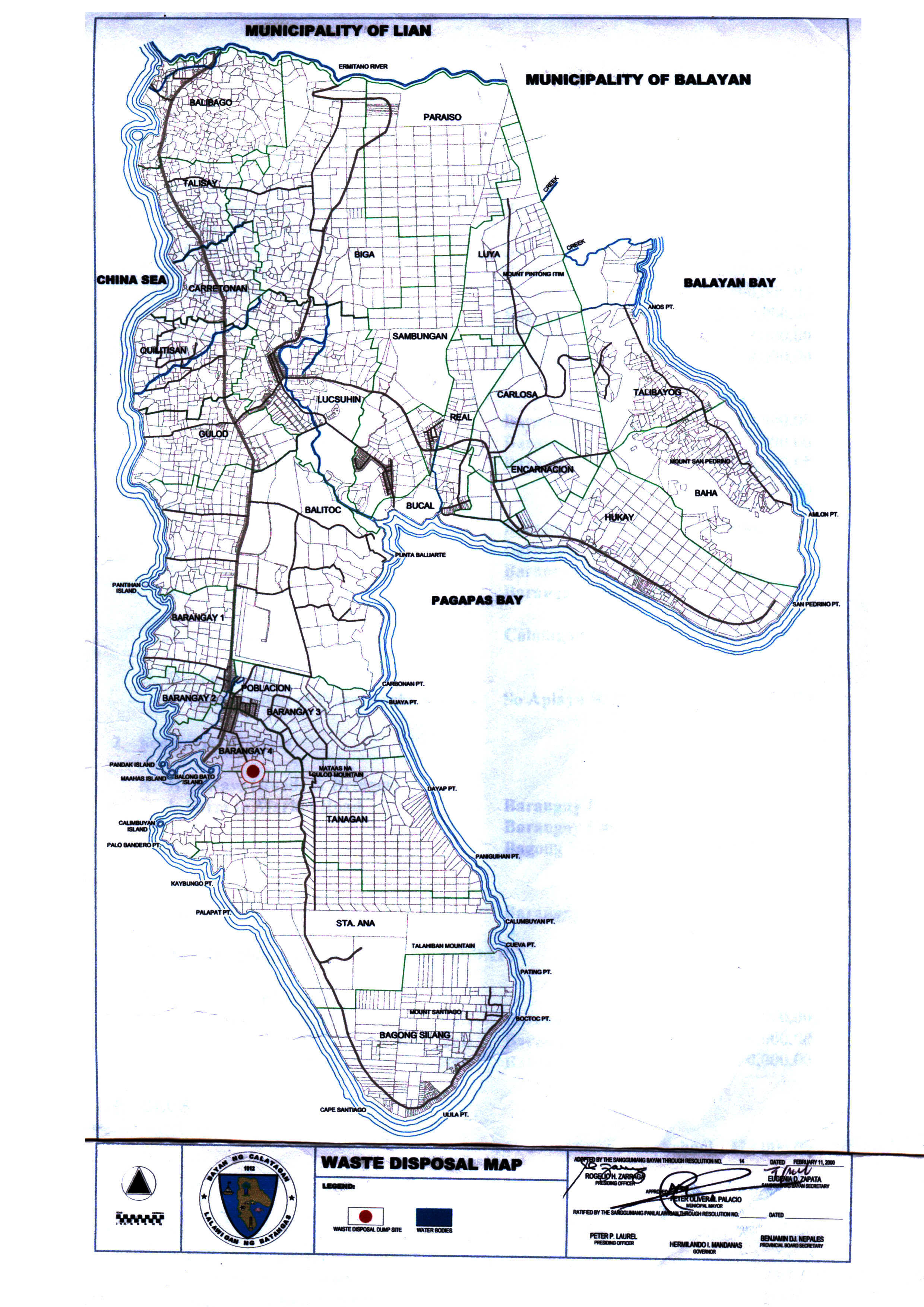
Waste Disposal Map
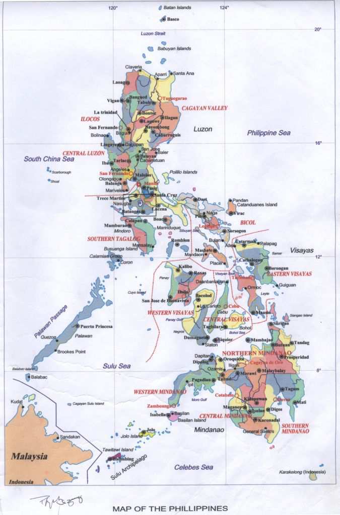
Map of the Philippines
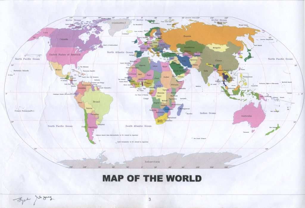
Map of the World